


|
|
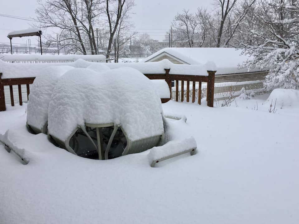
AccuWeather expects 12 to 20 inches of snow in the Southern Tier from Saturday afternoon to Sunday afternoon, followed by extremely cold temperatures with wind gusting to 35 mph.
Nuisance storm to race through first
The first storm, forecast to swing quickly from west to east spanning late Thursday to Friday morning, will be more of a nuisance with up to a few inches of snow from Pennsylvania to central and northern New England.

Enough snow will fall to make roads slippery and may cause school delays into Friday. In most areas snowfall from the storm will be on the order of an inch or two.
Meanwhile, a swath of wintry mix will occur from near and just south of the Mason-Dixon Line to much of New Jersey and southern New England.
A much more dramatic, disruptive and dangerous storm will follow approximately 36 hours later from Saturday to Sunday. Errands should be completed before the storm hits.
Blizzard, ice storm to shut down travel in Northeast
The blockbuster storm, which will hit the Midwest first, is forecast to evolve into an all-out blizzard, cause roads to close and lead to scores of flight cancellations.
Those who are on the road through the heart of the snow area will be at risk for becoming stranded for many hours and may have to face temperatures plummeting to life-threatening low levels.
Roads that may close during the storm in the Northeast include portions of Interstate 79, 80, 81, 86, 87, 89, 90 and 91. At times snowfall rates in this zone may be 2-3 inches per hour as blizzard conditions unfold.

Plows are not likely to be able to keep up. As the storm strengthens, winds will cause major blowing and drifting of snow, where ice does not mix in.
An AccuWeather Local StormMax™ of 40 inches projected in parts of northern New England. Close to 30 inches of snow is likely to fall on parts of central and northern New York state to perhaps the northern tier of Pennsylvania.

Snowfall of 12-24 inches is likely to be more common in the heaviest band from the storm. But, blowing and drifting at the height and conclusion of the storm may cause the snow depth to vary by several feet.
While the heaviest total accumulation of snow from the storm will fall north of the Interstate 95 cities from Washington, D.C., to Baltimore, Philadelphia, New York City and Boston, enough wintry precipitation can occur in the heart of the cities or just northwest to cause slippery conditions and major travel disruptions.

“A quick burst of snow and ice on the front end of the storm from late Saturday to Saturday night may cause roads to rapidly become slippery in the I-95 swath from the upper mid-Atlantic to southern New England,” according to AccuWeather Chief Meteorologist Elliot Abrams.
Around the New York City and Philadelphia areas, a few inches of snow may be followed by a buildup of ice before plain rain occurs.
A southward or northward shift in the storm track by as little as 50 miles may have a profound impact on temperatures and snowfall versus ice accumulation, since a heavy rate of precipitation is expected during the height of the storm, Abrams added.
A storm that tracks a few dozen miles farther south may bring heavier and longer-lasting snow or ice into the I-95 corridor. A storm that tracks a bit farther north may cause more rain, ice and less snow farther north.